The DMZ tour is the main highlight of our itinerary in Seoul. It’s popular for curious tourists who want to take a rare glimpse into the North Korean border. Technically, North and South Korea are still at war. Stretching 250-km long and 4-km wide, the DMZ (Demilitarized Zone) has served as a buffer zone between the two countries since 1953. Despite its name, the DMZ is heavily militarized and monitored by the United Nations Command. However, after decades of human absence, the DMZ is also a well-preserved temperate habitat for a rich diversity of flora and fauna.
To get to the DMZ, you need to join an official DMZ tour. As early as 7:30 am, a mini bus from Grace Travel (triptokorea.com) picked us up at our hotel for a 1.5-hour ride to the border of DMZ. An English-speaking guide accompanied us throughout the half-day tour, sharing the itinerary and some political stuff about the cold war.
Literally, we can’t enter the Demilitarized Zone. We visited Imjingak where monuments and statues commemorate the Korean War, followed by Dorasan Station that connects the railway to North Korea (hopefully the train runs to the North in the future) and Dora Observatory where everyone gets excited to look across the North Korean propaganda village. And finally, to the Third Tunnel of Aggression.
Before the DMZ tour, we were told to follow a strict dress code: No torn jeans, no shorts, no singlets, no slippers, no tights, no short skirt for the girls… blah, blah. So, I dug out my old polo tee and a decent pair of jeans to pack for the tour. Not sure if this is true, they say the reason to dress ‘smartly’ is due to past incidents of the North Koreans taking photos of shabbily dressed tourists on the DMZ tour and showing those photos to their people that the outside world is not doing well.
Imjingak
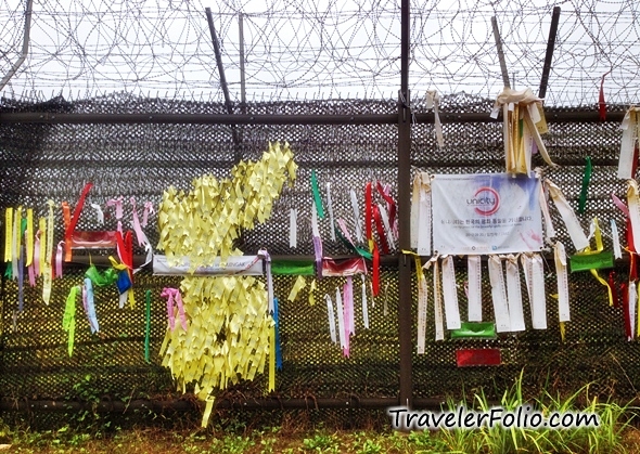
Barbed wire, security fencing, flags, banners and colourful ribbons at the boundary that is divided by war. Our first stop: Imjingak.

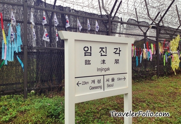
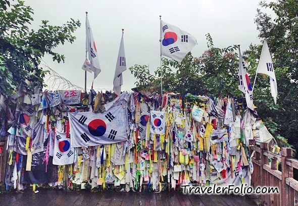
The desire of a peaceful Korean unification is all shown on banners and ribbons hanging on the fence.
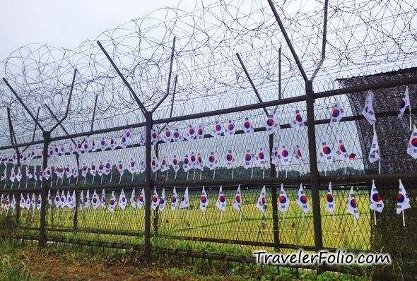
Rows of South Korea flags.
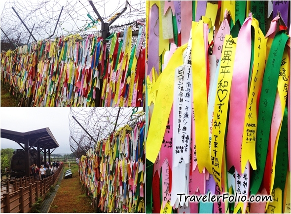
No idea how many ribbons are tied here. Wishes for world peace and unification are written on the ribbons.
The bullet-riddled rail car bears testimony of the grim past during the Korean War.

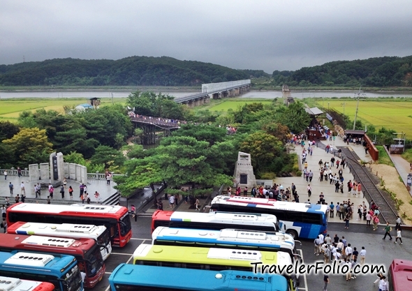
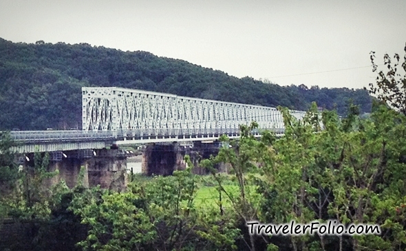
On the observation deck, we could see the Freedom Bridge beyond the security border, spanning across Imjin River that flows from the North to South. The park was full of tour buses and tourists.
A closer look at the Freedom Bridge.
Imjingak park

Not to be confused with the Freedom Bridge, this is the Bridge of Freedom where visitors can step foot on.

At the end of the bridge, there are more flags and ribbons.
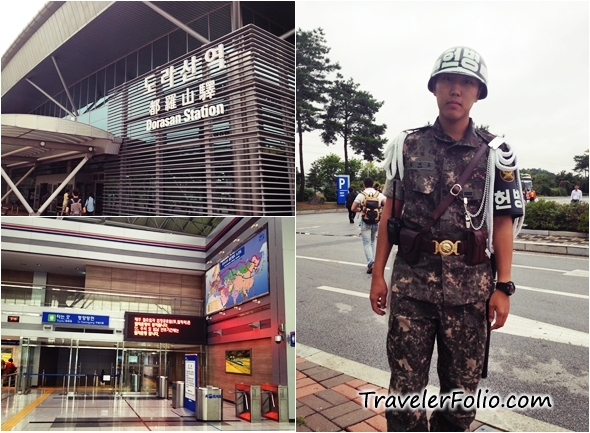
Dorasan Station
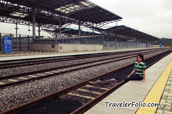
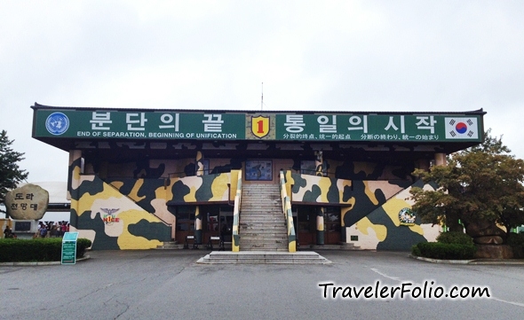
Up next, we took a bigger bus to Dorasan Station, that’s the final station of South Korea. The station was built in hoping that one day, the first South Korean train will connect to North Korea.

A moment of poignancy, posing by the railway track that leads to North Korea.
Dora Observatory
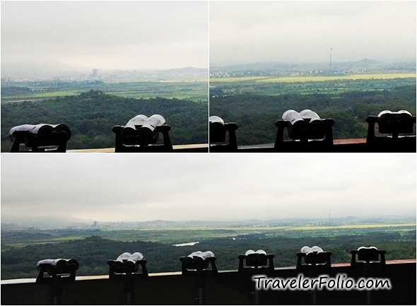
After Dorasan Station, we moved on to Dora Observatory atop Dorasan (Mount Dora). This is my favourite part of the DMZ tour. The observatory commands a panoramic view of the Demilitarized Zone, the closest view of North Korea we could get.
Visitors can look through the binoculars to peep into the North Korean propaganda village. In other words, those buildings from afar are believed to be empty shells, for show only. Do you see the a tall flag pole on the right photo? It’s the third highest flag pole in the world, of course, flying the North Korean flag.
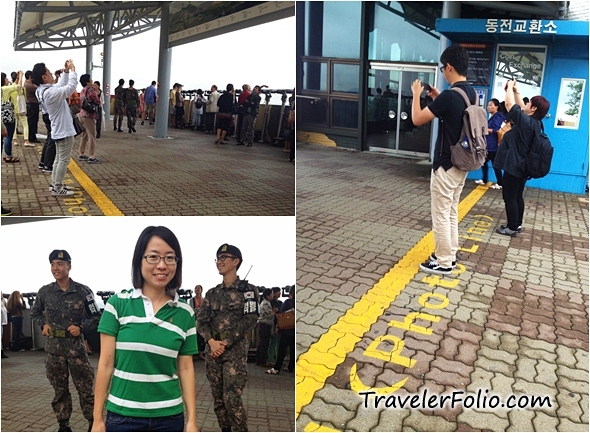
I had to zoom in using my iPhone camera to take closer shots of North Korea while standing behind the Photo Line. Well, actually, I had these shots taken by a very tall American! I asked him for help because I was too short to get this view at where I was standing.
When they say you can only take photo behind the Photo Line, they mean it seriously. We saw a soldier deleting photos of North Korea from a visitor’s DSLR after he was caught snapping beside the row of binoculars.
Third Tunnel of Aggression
Finally, we headed to the Third Tunnel of Aggression. No photography is allowed inside the tunnel. Discovered in 1978, it’s called the ‘Tunnel of Aggression’ because the South Korean side considered it an act of aggression by North Korea. The North Koreans dug the tunnel strategized for a surprise attack on Seoul that is only 44 km away, but when this was exposed by a defector, North Korea declared it a coal mine. The South Koreans didn’t buy that by looking at the direction of the marks left by dynamite detonation. We were told that the North side did admit and apologize later.
Visitors queuing up to enter the Third Tunnel of Aggression.
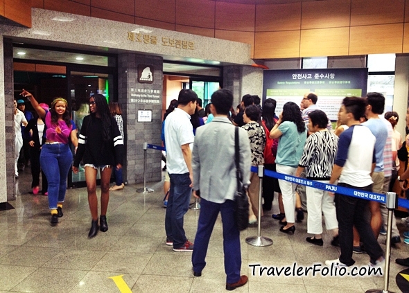
The underground tunnel is 1.7 km long, 2 m high and 2 m wide. We walked down the infiltration tunnel and saw traces of coal on the walls painted by the North Koreans to cover it up as a coal mine. Detonation marks caused by dynamites are also clearly visible. Note that it takes a long walk up the slope back to the entrance of the tunnel. So far, four infiltration tunnels have been discovered at the Korean border.

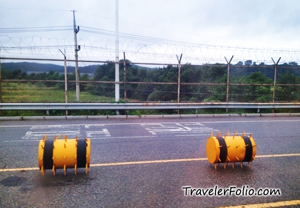
The security border on the South Korean side.

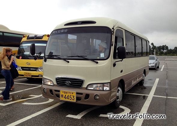
The mini bus that took us on the DMZ tour by Grace Travel.
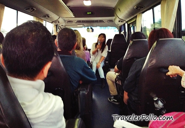
Our English-speaking guide on the mini bus. We ended the half day tour in the afternoon. It was an educational tour to remind us that peace shouldn’t be taken for granted.
To book the DMZ tour with Grace Travel, find out more on the website: triptokorea.com
Come back here again for more updates on Seoul. Read all posts on Korea Free & Easy
*Special thanks to Korea Tourism Organization Singapore for making this trip possible.

Hi Eunice, i think Korea’s border is nice to visit to see some century old monuments and statues since the North and South are in a century long war. I believe the Demilitarized Zone is not popular (yet) among outsiders and this would be a good time to explore before it get too commercial.
Simon Lee
Wow. Nice experience. I didnt managed to visit DMZ when i am in korea previously! What a shame. 🙁